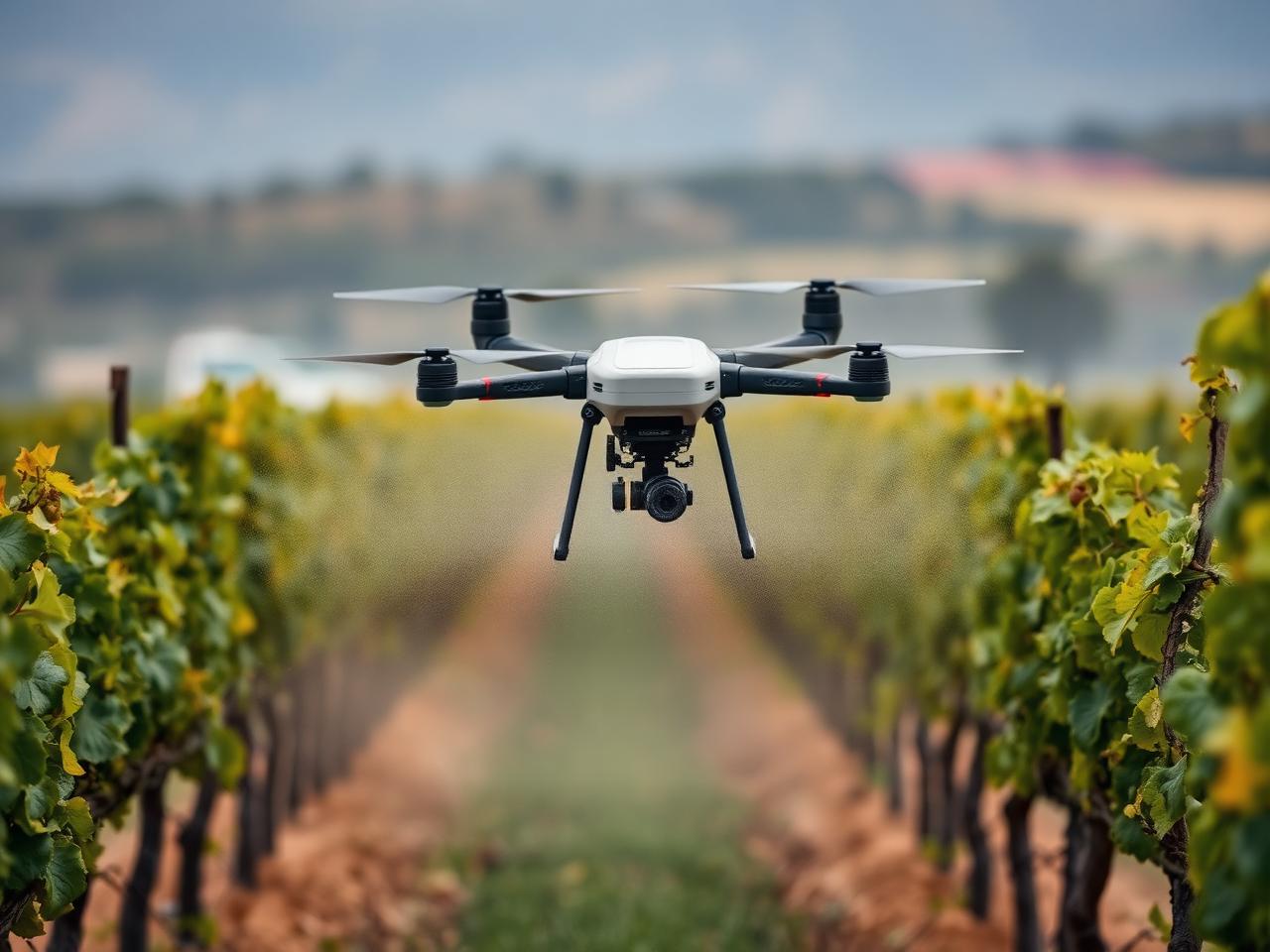
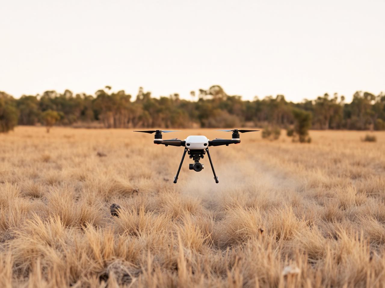
Spraying
Herbicide and pesticide application with low-drift, variable-rate accuracy.
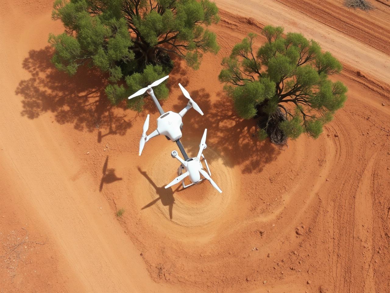
Precision spraying, seeding, mapping and aerial imaging — built for Australian vineyards, pastures and industrial sites.
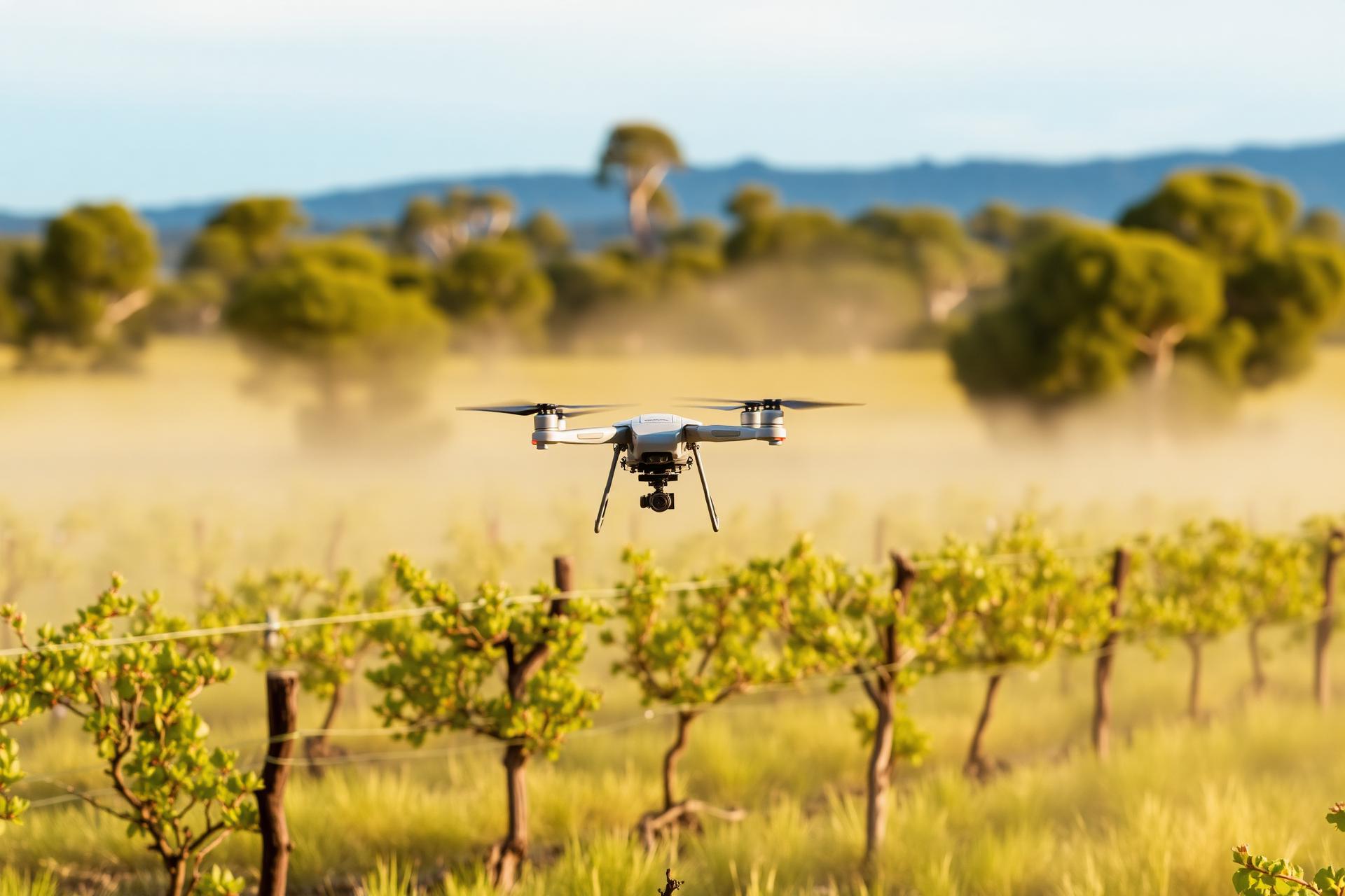
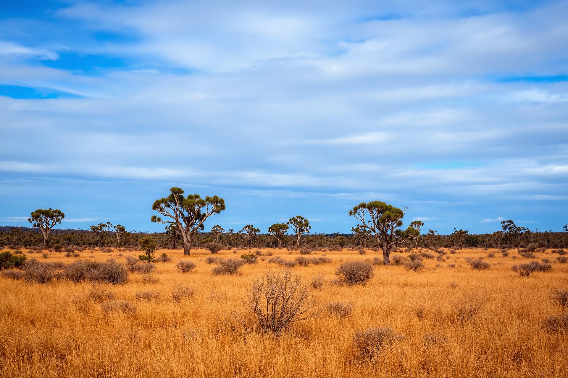
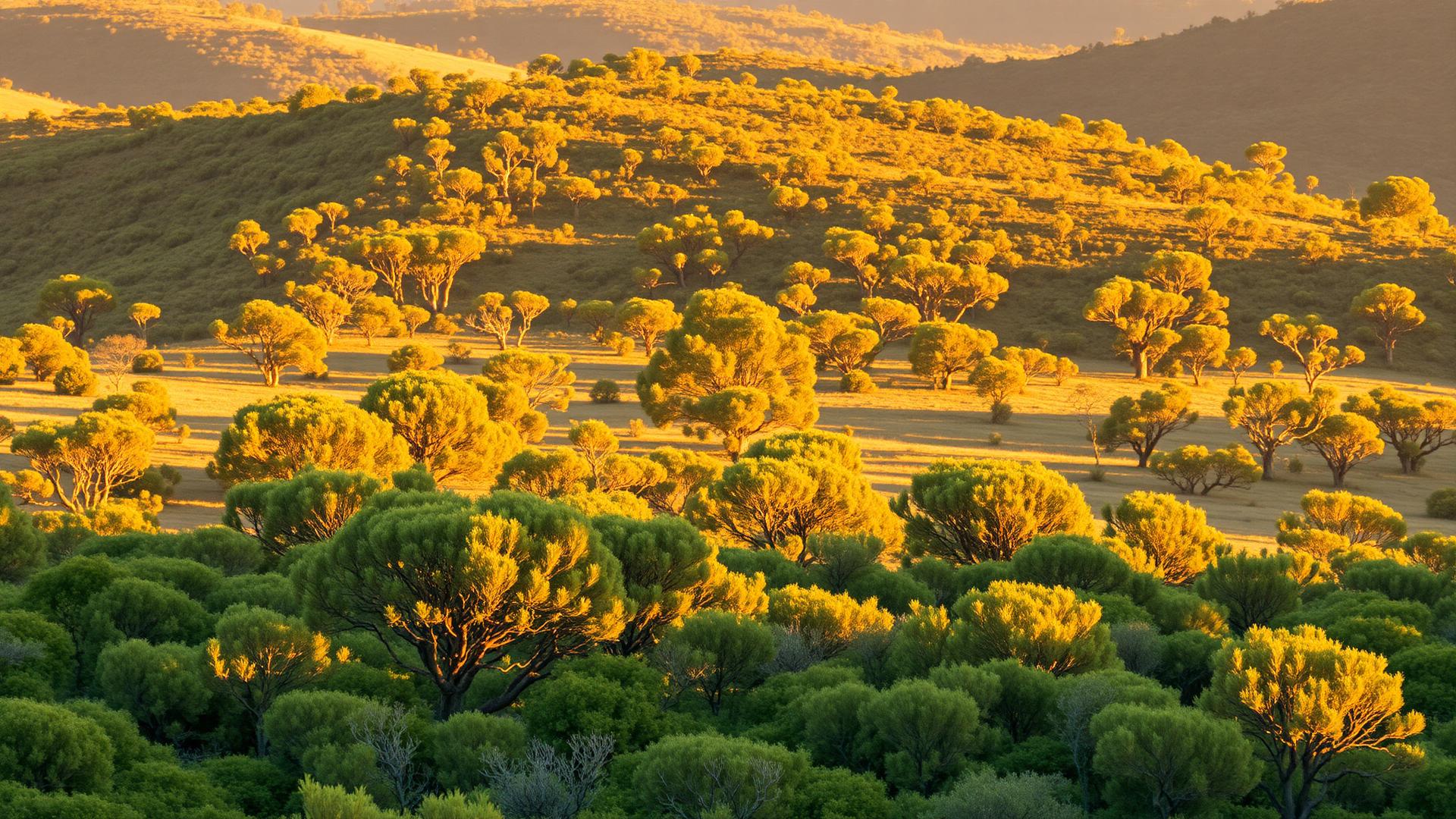
Across the Hunter Valley's ridges, vineyards and grazing country, drones do work that was once slow, costly or unsafe — with less impact on the land and a clearer picture of what's happening on it.
Drone spraying uses GPS-guided flight paths and precision nozzles to apply chemicals exactly where needed, reducing overspray, runoff, and wasted product. Studies report spray coverage accuracy as high as 98–99%.
Unlike tractors and heavy machinery, drones never touch the ground — zero soil compaction, reduced crop damage and less rutting in wet conditions.
Steep slopes, vineyards, muddy paddocks and marshlands — country that's unsafe or impossible for ground-based equipment.
Cover four to twenty hectares per hour depending on conditions — typically cheaper than manual application or fixed-wing aviation alternatives.
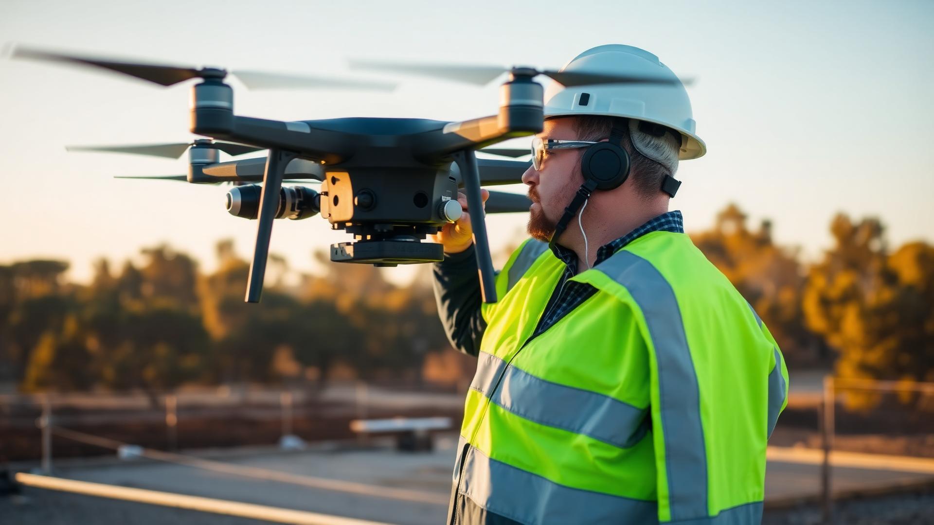
Drone spraying greatly reduces operator exposure to chemicals and potential accidents during application.
Cover paddocks and vineyards in a fraction of the time of ground-based work.
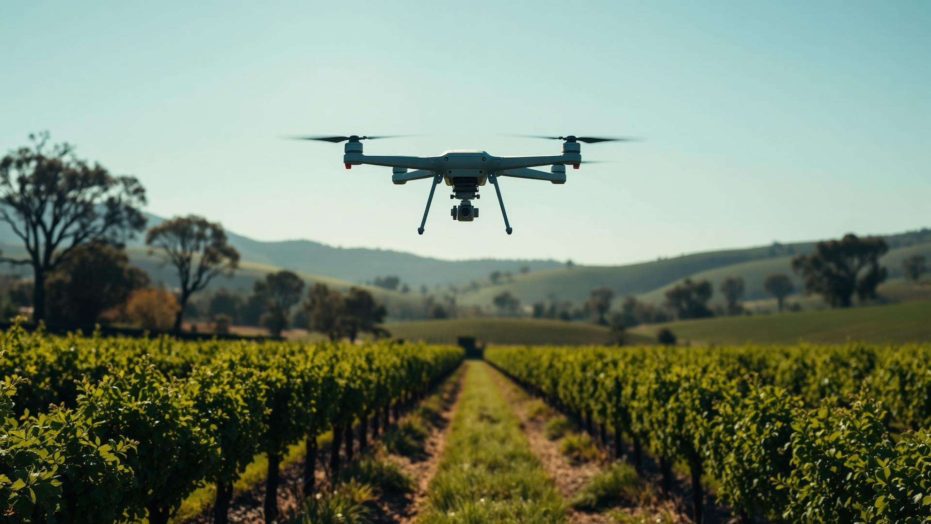
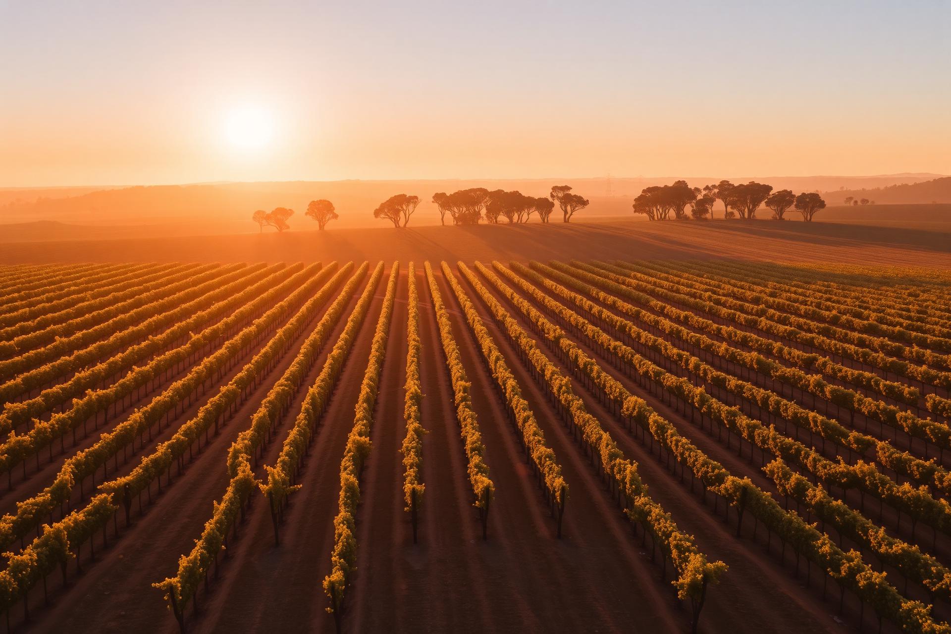
From canopy spraying in Pokolbin shiraz blocks to broadacre pasture seeding through the Upper Hunter — we tailor each job to the property, the season and the chemistry.
Herbicide and pesticide application with low-drift, variable-rate accuracy.
Pasture renovation, cover crops and granular spreading on country a tractor can't reach.
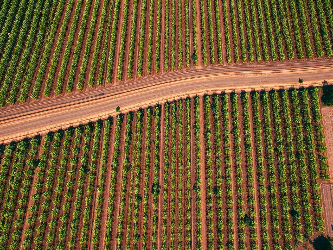
Multispectral imagery to spot stress, disease and irrigation issues early.
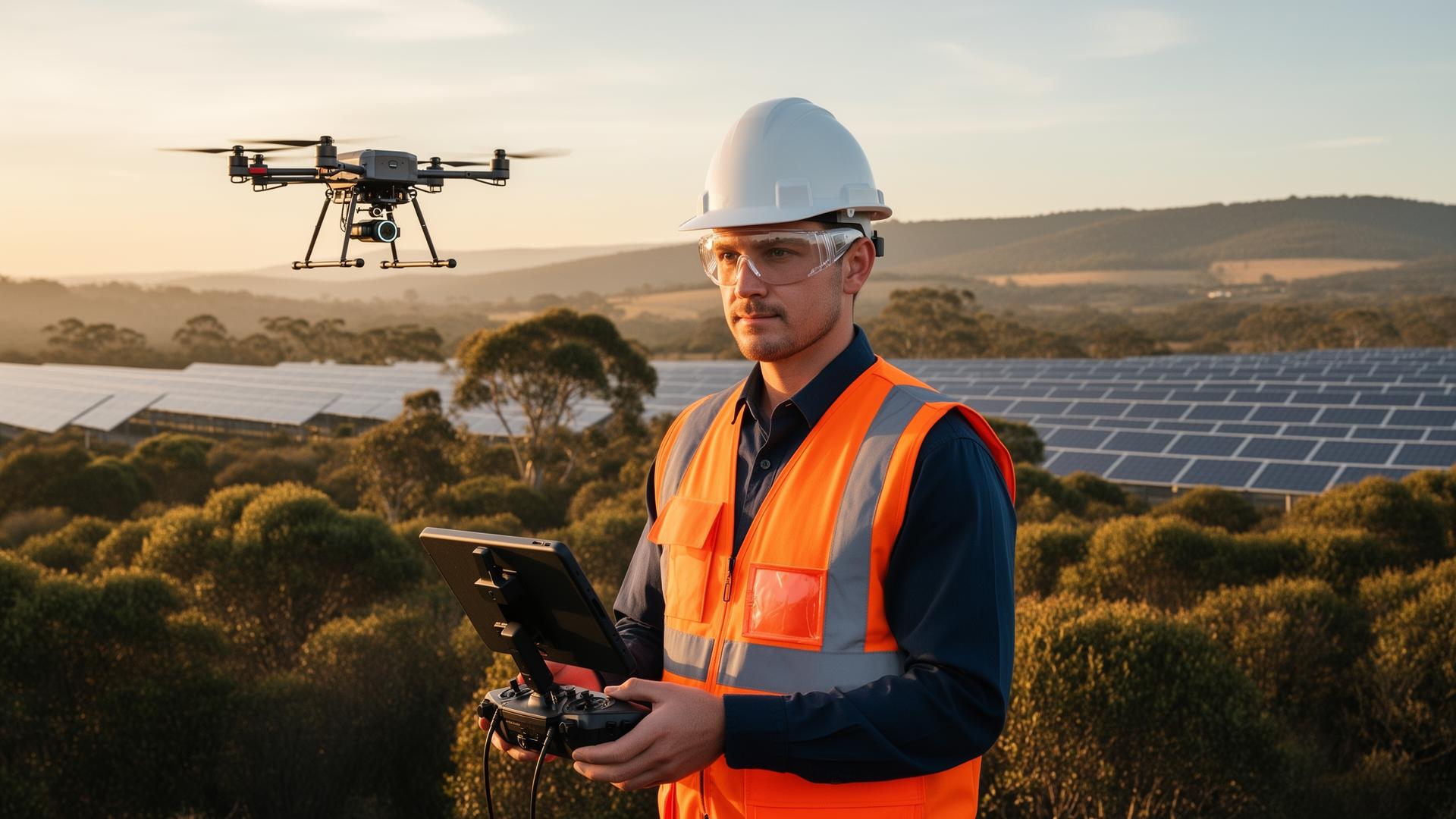
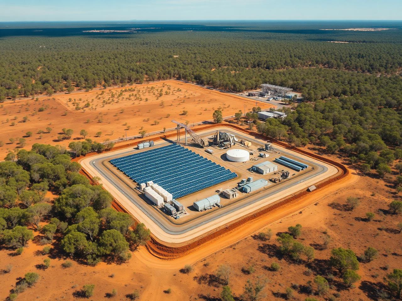
Survey-grade data and high-resolution imagery for construction, infrastructure, mining and renewables — captured safely, delivered in the formats your team already uses.
Marketing, documentation and stakeholder reporting from the air.
Orthomosaics, 3D models, contours and volumetric reports.
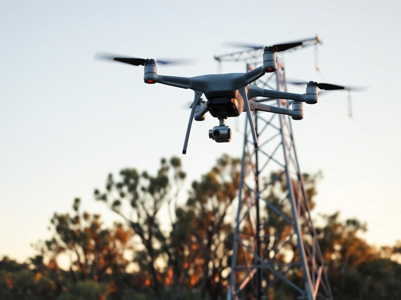
Visual and thermal inspection of towers, roofs and infrastructure.
We work across the Hunter Region and surrounds. Send us a few details and we'll get back to you with options and pricing.
Testimonials
“Hunter Region Drone Solutions saved us days of paddock walking. The spray coverage on our vineyard rows was spot on and we've already booked them for next season. Couldn't recommend them more highly.”